

Bent Creek Experimental Forest: A Woodland Escape Near Asheville |
Short interpretive walks and longer shared-use trails reveal the forest's history and late-fall beauty |
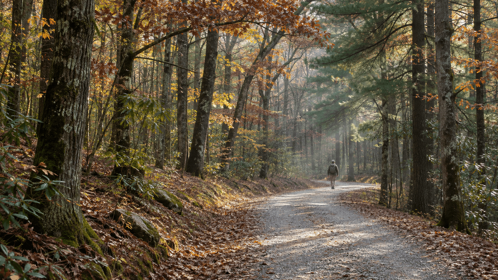
Just a short drive from Asheville's busy streets, Bent Creek Experimental Forest opens into a world of tall hardwoods, quiet gravel paths and the soft sounds of a working Southern Appalachian forest.
It is a particularly welcome change of pace in late autumn, when falling leaves reveal the shapes of ridges and winter light reaches farther between the trees.
Unlike a destination built around one overlook or waterfall, Bent Creek rewards visitors who enjoy the journey itself.
The nearly 6,000-acre research forest sits within Pisgah National Forest southwest of Asheville, where trails are shared by hikers, bicyclists and, on designated routes, horseback riders.
The U.S. Forest Service established Bent Creek in 1925 to study how damaged and heavily logged land could recover and be managed more sustainably.
That research mission continues today, adding an educational dimension to an otherwise simple afternoon outdoors.
Visitors may encounter study areas, forest-management demonstrations and interpretive signs that explain why some stands of trees look different from their neighbors.
Those sites are part of an active outdoor laboratory, so travelers should remain on permitted trails and avoid disturbing marked research plots.
For an approachable introduction, consider the Centennial Trail, a roughly 0.6-mile self-guided route beginning near the Rice Pinnacle parking area.
The route passes research plots and signs explaining the forest's work, making it a manageable option for people who prefer a shorter walk with a story behind it.
Those seeking a longer outing can explore the Habitat Hike, an interpretive route that travels through streamside environments, rhododendron thickets and stands of pine and hardwood trees.
The Forest Service describes this walk as approximately 3.5 miles, so it calls for more time and preparation than a quick roadside stop.
Another route, the Ledford Branch Demonstration Trail, extends about 4.6 miles and introduces visitors to different hardwood regeneration methods.
Parts of that route follow gravel roads shared by multiple users, while a later footpath section is reserved for hikers.
Some locals also enjoy the Hard Times trail network, where broad forest roads give a different sense of space from the area's narrow mountain footpaths.
Choosing a route that matches your time, footwear and comfort level matters more than trying to cover the most miles.
After Hurricane Helene, trail conditions across Western North Carolina changed repeatedly, and even routes listed as open can have fallen limbs, erosion or muddy sections after rain.
Current visitor information identifies Bent Creek and the Hard Times Loop as open, but checking official alerts and posted trail signs before departure remains wise.
Bring drinking water, a downloaded map and a warm layer, especially on shorter November days when the temperature can drop quickly beneath the tree canopy.
Because cyclists and walkers share some corridors, stay alert around bends, keep pets under control and make room for faster-moving trail users.
The forest is also close to Lake Powhatan Recreation Area and the North Carolina Arboretum, making it possible to plan a longer outing without traveling across the mountains.
Still, the real pleasure of Bent Creek is its simplicity: the rhythm of walking, the scent of fallen leaves and the chance to notice how a forest changes from one hillside to the next.
For an 828 weekend that needs fresh air without another waterfall photograph, Bent Creek offers something quieter and wonderfully different. |
0 Comments
Join the conversation
Be the first to comment
Share your thoughts above.